DIGINAV
The DigiNav is a complete Marine Navigation software capable of combining several Navigation Equipment to one Display such as Chart Plotter function, Fish Finder Function, AIS function, Radar function and more. Depending on your need, we can tailor made a suitable Navigation System for your requirement, and in the future allows you to further expand functions and features suitable for your navigation needs.
Currently, DigiNav is compatible with K-Chart Maps and Navionics Maps. We are constantly expanding those compatible with our software.
Features:
- Navionic chart, please stay tuned for more charts
- AIS:
- CPA/TCPA: can monitor 1000 nearby targets
- Short message communication: 70 English and 30 Chinese characters for each message
- Automatic AIS track record: can be stored for more than one year
- Data import and export function
- GPX, KML format
- Track record: one month
- User data:
- Waypoints: Waypoints of different shapes and colors can be added to the chart
- Place name: can add missing place names to the chart
- Markers: Markers of different shapes and colors can be added on the chart,
- Line drawing: lines of different colors can be drawn on the chart
- Area: Different color areas can be drawn on the chart, and can be set as a monitoring area
- Track-to-route: You can choose the function of turning a certain track into a route, or you can choose to turn the track of AIS into a route
- Track backup: the current track can be backed up
- Alarm function: way alarm, moving anchor alarm, arrival alarm, speed alarm, approach point alarm, CPA/TCPA alarm, area intrusion alarm
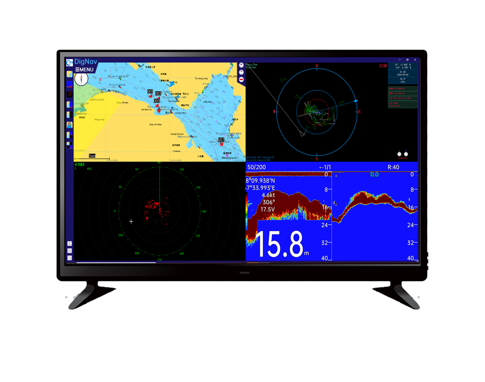
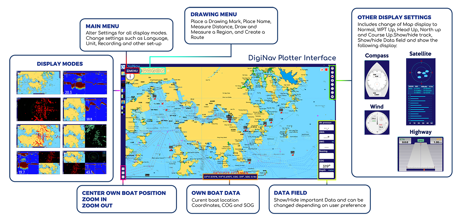
DigiNav Interface
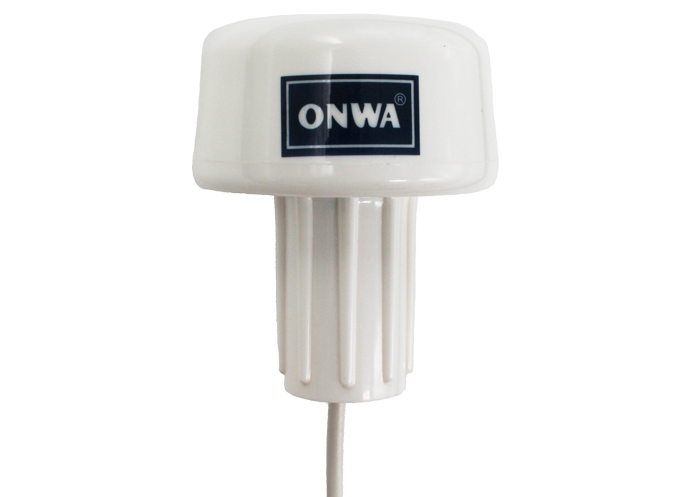
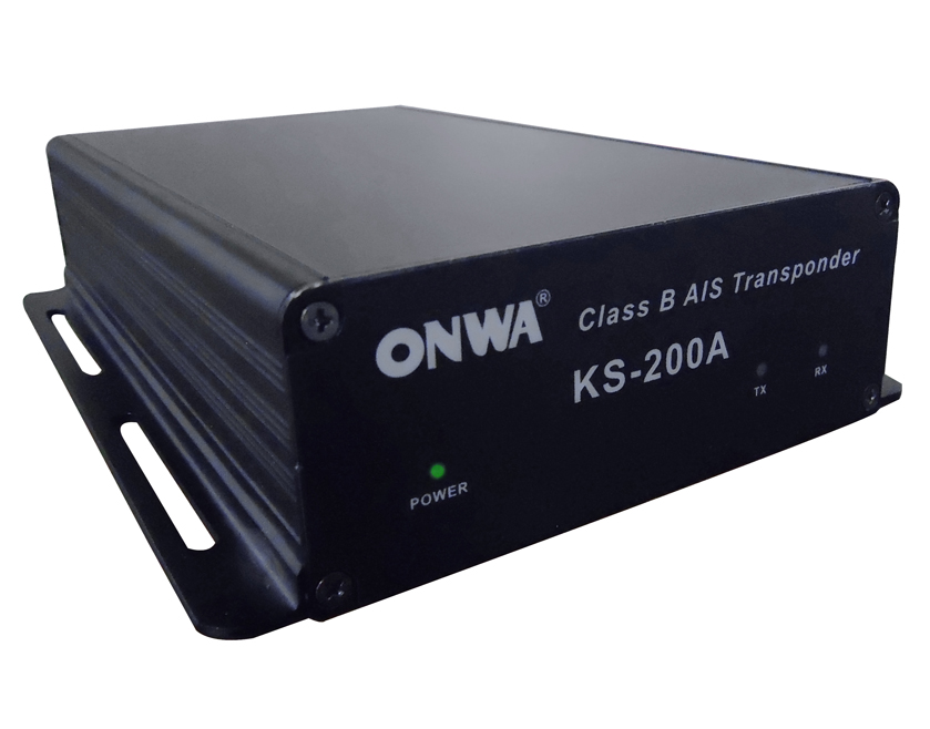
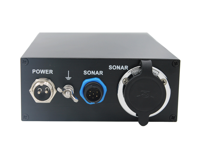
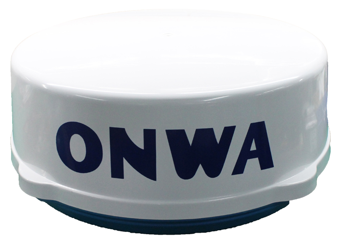
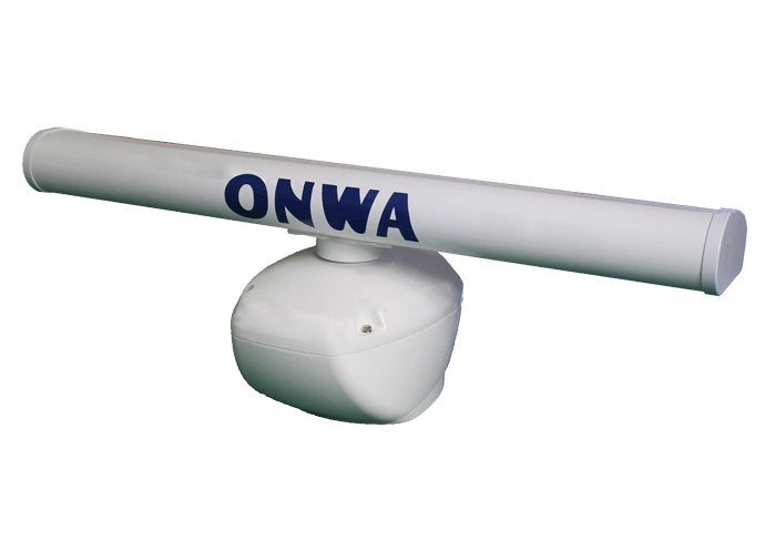
Compatible Hardware Products
