DIGIFENCE
The DigiFence system forms a near real time like surface picture to ensure more efficient patrol and search-rescue operations in coastal areas, so that it would be possible to enhance the level of collaboration with the other public entities. The system goal is make it possible to perfectly and efficiently monitor all the territorial waters and adjacent zones, and struggle with such crimes as trafficking, illegal immigration, fishery and maritime pollution.
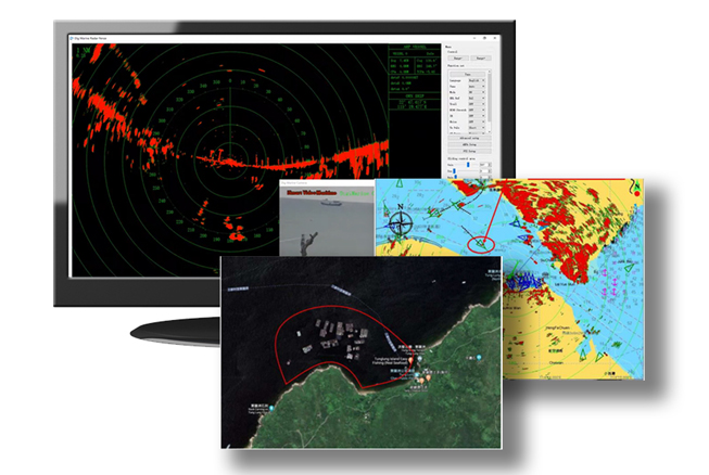
The DigiFence system forms an recognized Surface Picture by means of the fusion and identification of the system trace data through the Automatic Identification System (AIS) and the radar or radars.
This system features powerful functionality, flexible configuration, high integration, easy installation and simple operation
Features:
In the Surveillance center, the DigiFence software provides the following:
>> Combines the targets information from radar and AIS to analyse the nature of the target
>> Protected area can be drawn by the user to set the alarm inside or outside the draw boundary
>> Surveillance camera trace the tracked target
Installation Options
Solutions
AIS Coastal Monitoring
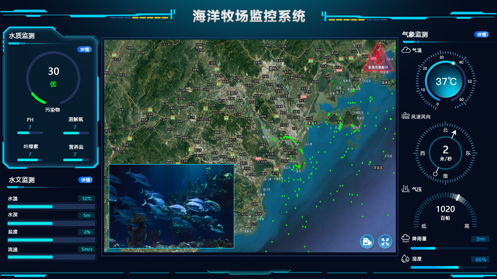
DigiMarine AIS Coastal Monitoring solution will enable the user to montior all AIS vessels within the set up coastal territory.

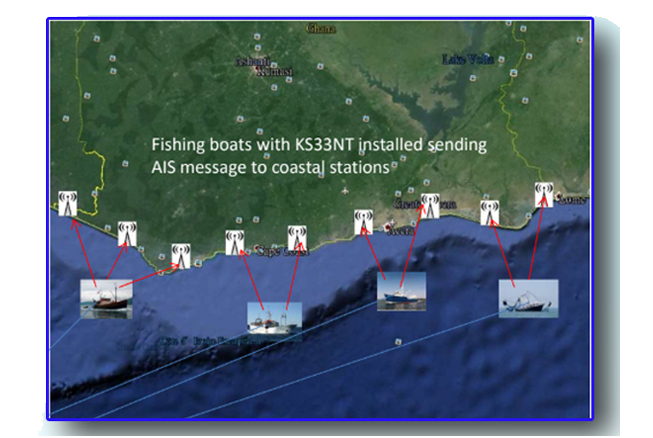
AIS Tracking Solution
AIS Tracking solutiont tends to track fishing vessels specially those small vessels for protection out in the sea and to prevent entering prohibited fishing zone

